STYRIS®, Coastal Surveillance System
Enhancing Safety and Security at Sea

Optimising Maritime Security and Operations
What is STYRIS®?
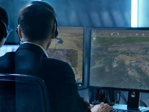
STYRIS® is a comprehensive system designed for maritime surveillance, reconnaissance and traffic monitoring enhancing maritime situational awareness. Serving both national agencies and economic entities, it integrates a wide range of sensors, including cameras, radars, AIS, weather sensors and RDF to generate a real-time, accurate maritime picture by fusing data from these sources.
This integrated view allows users to detect and track vessels, gather detailed information on their characteristics (speed, heading etc) and identify potential threats.
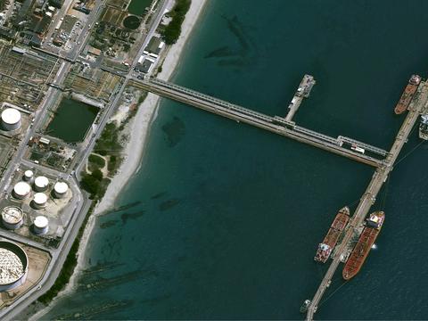
STYRIS complies with international conventions and laws, ensuring state responsibilities across maritime domains such as Exclusive Economic Zones (EEZ), territorial waters, coastal areas, ports and waterways.
STYRIS® key features
Multi-Centre Coordination
STYRIS® features a multi-node architecture that allows information sharing between several centres, providing a continuous, unified view of maritime traffic.

Record and Replay Capability
STYRIS® permanently archives all data, enabling the replay of recorded events. This feature is valuable for understanding the origins of incidents and supporting operator training.

User-Centric Design
The ergonomic interface of STYRIS® is designed to help operators focus on critical tacks, ensuring ease of use in high-pressure situations.


Fishing boat throwing a large net
STYRIS®: A Solution for Environmental Protection
STYRIS® plays a vital role in the protection of maritime resources and natural protected areas. Its alert functionality allows operators to detect when a vessel approaches a protected area, enabling them to contact the crew and prevent incidents. Additionally, the system’s ability to automatically identify abnormal behaviours is crucial in detecting illegal activities, such as illegal fishing.
Your Advantages with STYRIS®
Scalable
Adapts to any configuration in your system architecture, whether by integrating sensors from an existing system or deploying a completely new one
Secured
Ensures the highest security standards, guaranteeing system reliability 24/7
Proven
Backed by over 30 years of continuous improvements and expertise
Instantaneous
Offers real-time, at-a-glance access to accurate information
Choose Heritage and Robustness with STYRIS®
Since its first deployment over 30 years ago, STYRIS® has been continuously enhanced to meet evolving market demands and exceed customers expectations, whether for new or returning users.
STYRIS® has been deployed in over 250 locations globally and has successfully monitored over 40,000km of coastline.
Master Maritime Safety and Security with Airbus
Want to speak with sales?
Our sales team is ready to provide more information about STYRIS® and how it can meet your specific needs.
Explore more possibilities
Browse our documentation about STYRIS®
Documents
STYRIS, a coastal surveillance system brochure
STYRIS, a vessel traffic services brochure
Documents
STYRIS, a coastal surveillance system brochure
STYRIS, a vessel traffic services brochure
What our Customers Say
Related Pages
-

Smart Solutions for Maritime Surveillance
Airbus solutions offer unique maritime intelligence, enhancing surveillance capabilities from coastal areas to the open seas.
-
I4D Intelligence: Geospatial Analysis & Multi-Source Data Fusion
I4D is a GEOINT solution, delivering reliable intelligence for informed tactical decisions reports for mission preparation.
-
Imagery and Data
Airbus provides access to its optical and radar sensors, as well as Radio-Frequency (RF) data from HawkEye 360.


Keep up to date with our latest news
In the Spotlight
-
HumINT: Break Language Barriers
Case Study
ISR
In army operations, forces need to interact with their surroundings as quickly as possible without language-related challenges causing delays. -

At the Heart of Intelligence-Led Operations
Case Study
ISR
-
Border Monitoring with Strat-Observer
Case Study
ISR
-

AI Contribution in defence
Case Study
Big Data
-
Improving Coastal Surveillance Missions with STYRIS®
Case Study
Maritime


